Qutang Gorge of Yangtze River
 |
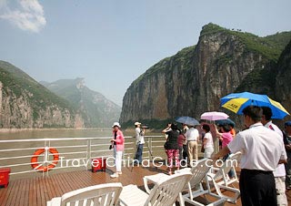
Southwest of the Qutang Gorge is the Kui Gate, also called the Qutang Pass. Two peaks, Mt. Baiyan (White Salt Mountain) in the north and Mt. Chijia soar above the horizon. The two mountains resemble a gate that might have been created by Heaven and placed here on earth.
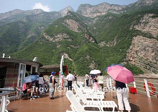
As the peaks along the two banks are 3,281 feet to 4,921 feet high and the Yangtze River is only 109 yards to 219 yards wide, the Yangtze River looks like a narrow belt winding its way through the deep canyons. The deep gorge, fast-moving water, and chains of mountains form an imposing picture. Because of the Kui Gate, it is also known as the Kui Gorge.
 |
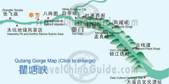
| Yangtze Qutang Gorge Map (Click the map to enlarge it, or go for more Yangtze River Maps) |
 Other attractions include the Rhinoceros Looking at the Moon--a unique stone in the shape of a rhinoceros looking at the moon not far from the Bellows Gorge, the Iron Lock Pass--used to prevent enemy invasions during the Song Dynasty (960 - 1279), and the Daxi Culture Heritage Site - the perfect place to learn about Chinese Neolithic Culture.
After the damming of the Yangtze River for the Three Gorges Dam Project, great changes took place in Qutang Gorge; some historic relics along the two banks have been submerged in the water. As a result, the unique image of a smooth lake rising in the narrow gorge now appears.
Sightseeing List:
- Last updated on Nov. 03, 2021 -