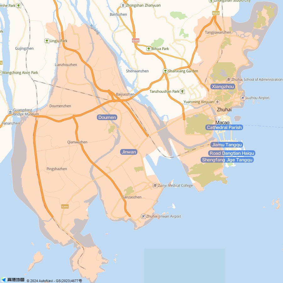
Zhuhai Map
Situated on the southern end of the Pearl River Delta of Guangdong Province, Zhuhai faces Hong Kong to the east across the sea, and adjoins Macau on the south, Xinhui and Taishan on the west and Zhongshan on the north.
From the above map, you can see the local major attractions and roads, hotels, hospitals, schools, shopping centers, the Jiuzhougang Dock (ferry terminal) and the Gongbei border for the entry to Macau and so on. The landmark of the city - Zhuhai Fishing Girl Statue - is near the Seaside Park in the east of the city. The Gongbei border is a vital passage to Macau Special Administrative Region. The Gongbei Passenger Station is near the Gongbei border. It provides the bus services to major cities and towns in Guangdong as well as interprovincial bus services. In the southwest, you can see Nanping Town located in Xiangzhou District of the city. As one of China's five largest special economic zones, Zhuhai boasts a 3-square-kilometers duty free zone. As you can see in this map, it lies in the south of the city, close to Macau.
More Guangdong Maps
