Tibet Maps
Maps of Tibet Cities and Areas
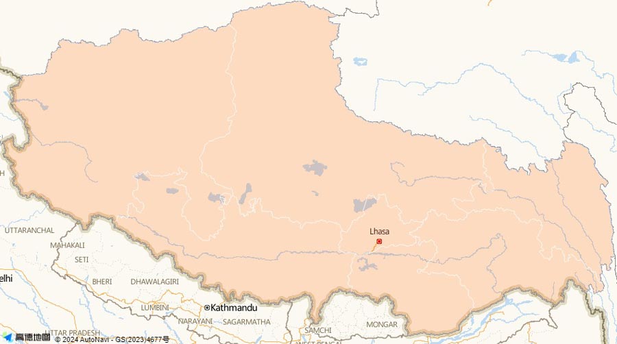
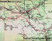
Here are maps of Tibet, which is located on the world's biggest and highest plateau, Qingzang Plateau. At an average altitude of more than 4,000 meters, it borders on India, Nepal, Sikkim, Bhutan, Burma and other countries on the south. On the border stands the mighty Himalayas. Within the country, it adjoins Xinjiang and Qinghai on the north and Yunnan and Sichuan on the east. It's formed by the capital Lhasa City and the other six regions, including Chamdo, Nyingchi, Shannan, Shigatse, Nagri and Nakchu. The population of South Tibet is bigger than that of North part. The mostly uninhabited areas are situated in the north part. Nagri and Nakchu in the northwest are sparsely populated.
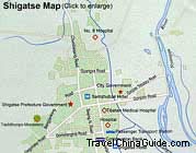
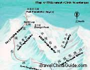
Lhasa and Shigatse are frequented by visitors. As the capital of Tibet, Lhasa boasts numerous attractions, such as the Potala Palace and Sera Monastery. Shigatse is proud of the world's highest peak Mount Qomolangma. In the map, you can find a small county named Tingri. It is a vital stop leading to the camp of Mount Qomolangma. There are many lakes in the region. They mainly distribute near the inland rivers in the northern and southern part.
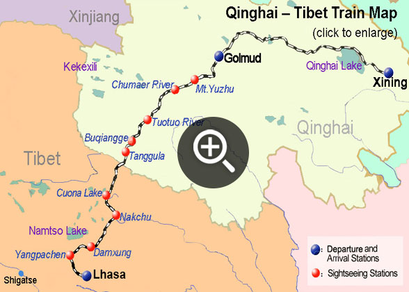
There is only one railway across the high land from northeast to southwest. It begins from Xining to Lhasa via Golmud. The Qingzang Highway crosses the Changtang Prairie in the north of the region, extends to Lhasa and joins with the Chuanzang Highway. Both the Qingzang Railway and Qingzang Highway are very important passages connecting the region with Qinghai.
